


La Mourre, La Garde-Freinet-22-05-24

Christiancordin
User
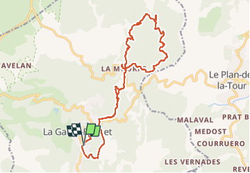

Length
21 km

Max alt
415 m

Uphill gradient
678 m
Km-Effort
31 km

Min alt
149 m

Downhill gradient
675 m
Boucle
Yes
Creation date :
2024-05-22 07:10:22.583
Updated on :
2024-06-19 16:42:36.327
5h02
Difficulty : Medium

FREE GPS app for hiking
 SityTrail
IGN / Geographical institutes
SityTrail Plus
The world is yours!
About
Trail Walking of 21 km to be discovered at Provence-Alpes-Côte d'Azur, Var, La Garde-Freinet. This trail is proposed by Christiancordin.
Description
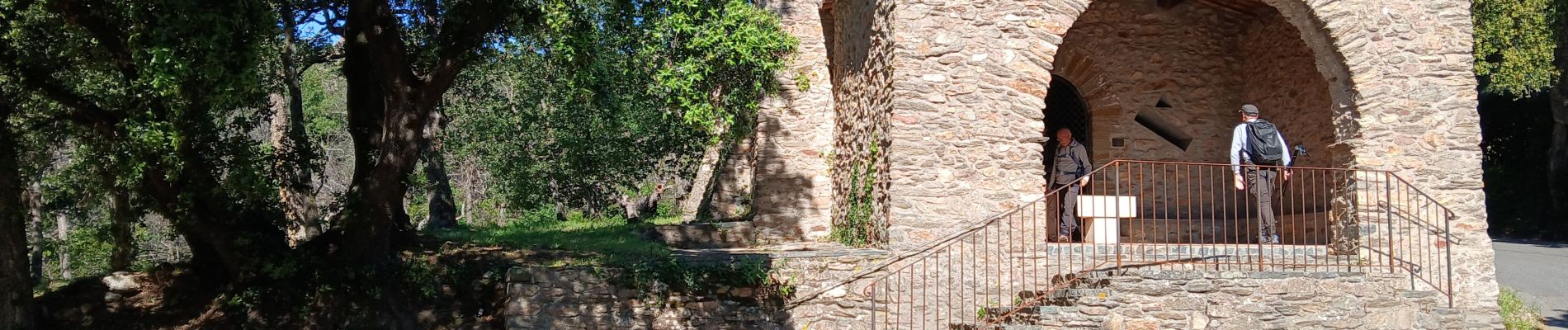
La Garde Freinet, chapelle St Clément, le Curnier, la Mourre, piste de Vaucron, camp long, les basses Cabrettes.
Photos


Positioning
Country:
France
Region :
Provence-Alpes-Côte d'Azur
Department/Province :
Var
Municipality :
La Garde-Freinet
Location:
Unknown
Start:(Dec)
Start:(UTM)
295000 ; 4798851 (32T) N.
Comments